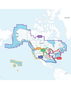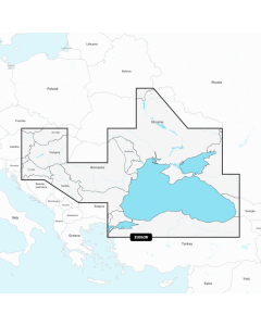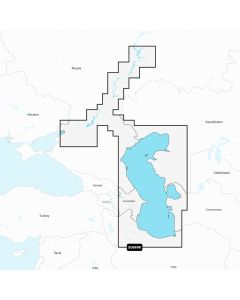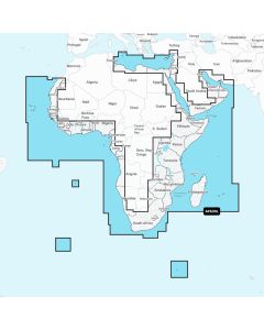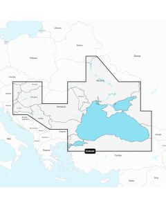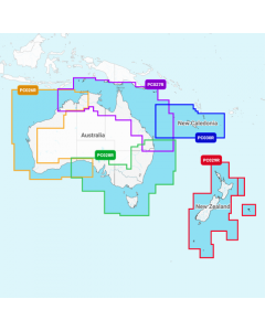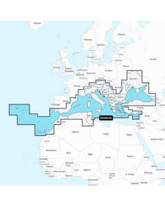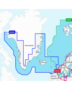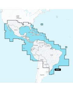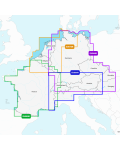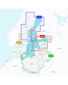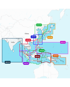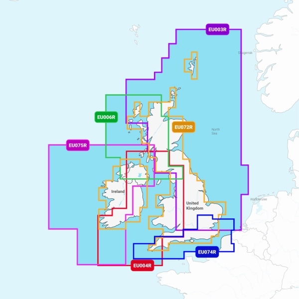


Garmin Navionics UK Charts
Navionics Charts are derived from multiple official,
government and private sources, displayed in a familiar look and
feel. Supplied on a SD-Card (Micro SD With SD-Card Adapter).
To see delivery prices please check delivery tab or cart


- Navigate with our best offshore and inland lake coverage for your Garmin chartplotter
- See it your way. Customise your view with various chart layers and overlay combinations
- With your included one-year subscription, access daily updates via the ActiveCaptain smart device app
- Auto Guidance+ technology lets you navigate with suggested dock-to-dock routings
- Select up to 10 colour-shaded target depth ranges to scope out the best fishing spots
It's A Whole New Look On Your Chartplotter
Featuring vibrant colours, a streamlined interface and combined coastal/inland content with a popular Navionics style colour palette, Garmin Navionics+ cartography makes it easy to plot your course with the world's No. 1 name in marine mapping.
Plot your paradise on coastal or inland waters.
All-In-One map Solution for Garmin Chartplotters - Access detail-rich mapping of coastal features, lakes, rivers and more. Integrated Garmin and Navionics content offers coverage for boaters worldwide.
Daily Chart Updates - Charts are constantly being enhanced with new and amended content - as many as 5,000 updates are made every day. The one-year included subscription gives you access to daily chart updates via the ActiveCaptain smart device app.
Auto Guidance+ Technology - Combining the best of Garmin and Navionics automatic routing features, built-in Auto Guidance+ technology gives you a suggested dock-to-dock path to follow through channels, inlets, marina entrances and more.
Depth Range Shading - High-resolution depth range shading lets you select up to 10 colour-shaded options and view your designated target depths at a glance.
Up to 0.5m Contours - For improved fishing and navigation, up to 0.5 m contours provide a clear depiction of bottom structure for improved fishing charts and enhanced detail in swamps, canals, harbours, marinas and more.
Shallow Water Shading - To give a clear picture of shallow waters to avoid, this feature allows for shading at a user-defined depth.
ActiveCaptain Community - Community-sourced content provides useful POIs, such as marinas, anchorages, hazards, businesses and more. Get recommendations from boaters with firsthand experience of the local environment.
Garmin Navionics Vision+
Premium features in addition to Garmin Navionics+
Relief Shading - This detailed shading feature3 combines colour and shadow to give you an easy-to-interpret, clearer view of bottom structure than contour lines alone.
High-Resolution Satellite Imagery - High-resolution satellite imagery provides superior situational awareness.
Aerial Photography - Crystal-clear aerial and surface photos of ports, marinas, bridges, docks, boat ramps, dams and navigational landmarks provide a better sense of your surroundings above the waterline.
3D Fisheye View - This underwater perspective shows 3D representation of bottom and contours as seen from below the waterline. Interface with sonar data for a customised view.
3D Marinereye View - This view provides a 3D representation of the surrounding area both above and below the waterline.
Compatibility
The following devices are compatible with Garmin Navionics+ and Garmin Navionics Vision+ cartography
- ECHOMAP UHD (7" / 9")
- ECHOMAP ULTRA (10" / 12")
- GPSMAP 10x2 / 12x2
- GPSMAP 12x2 Touch
- GPSMAP 7x2 / 9x2 / 12x2 PLUS
- GPSMAP 7x3 / 9x3 / 12x3
- GPSMAP 8400 / 8600 / 8700 BB
For Devices not listed above Please use Garmin BlueChart G3 Charts
Why Buy From Us?
We have sold thousands of Garmin Marine Products so far and have a track record of happy customers. Here are some of the reasons people choose us:
- We have detailed product knowledge and we use many of these products ourselves in our hobby so we understand the benefits these bring and also the challenges you may face fitting them on your boat so we can help find the best option for you.
- If you have any questions on this product, what else you might need with it or just want to make sure it is the best product for you, our experts are always happy to help.
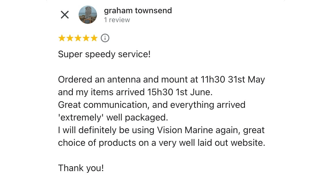
- Exceptional customer service is our top priority, reflected in our 5-star reviews.
- If for whatever reason you have a problem, our strong after sales service will make sure you are looked after and we will drive through any warranty cases as quickly as possible for you.
Join our happy customer base and reach out to our experts for guidance on finding the perfect product for you.
Here is what one of our customers has said, if you want to check out some more of our 5-star reviews you can see them here.
| Brand | Garmin |
|---|---|
| Availability | Please choose an option to see Availability |
| Shipping Type | Standard |
Delivery
We make sure to list our stock so you know upfront when your order will be with you, most items we send are sent on next-day service as standard however some orders to harder-to-reach locations such as Scottish Islands or Channel Islands may go on a 48-hour delivery to keep delivery costs to a minimum.
Due to the wide range of items we sell shipping costs can vary such as heavy batteries and inflatable boats require a pallet. To see the shipping cost of items use our shipping calculator below.
This is not indicative of the final shipping price, to see that add all your items to your basket or see the delivery costs below.
Delivery costs are as follows - Check the Shipping Type of your product on the 'More Information' tab.
Standard
Mainland UK - £0-150 - £6.5 / £150 - £250 - £3.25 / £250+ - Free
Isle of Mann, Jersey, Gurnsey - £0-150: £15 / £150 - £250: £7.5 / £250+: Free
Hazardous
Mainland UK - £0-150 - £6.5 / £150 - £250 - £3.25 / £250+ Free
Isle of Mann, Jersey, Gurnsey - Unable to ship due to courier restrictions
Long
Mainland UK - £0-500 - £23 / £500+ - Free
Isle of Mann, Jersey, Gurnsey - Please Call for Quote
Inflatable Boat
Mainland UK - £0-500 - £30 / £500+ - Free
Isle of Mann, Jersey, Gurnsey - Please Call for Quote
Heavy Battery
Mainland UK - £0-850 - £26 / £850+ - Free
Isle of Mann, Jersey, Gurnsey - Please Call for Quote
Returns
We have a 30-day returns policy so If for whatever reason you are not happy with your order we can exchange it for another or offer a full refund if you log it with us within 30 days of receipt of the goods.
Find out more about our returns policy here.